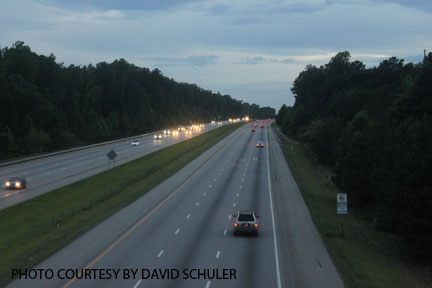
A recurring problem with city planning is the fact that it is assumed that residents will drive everywhere. This is a problem, because the inability to walk places leads to an unsustainable community.
Having lived in a large city, I can vouch for the convenience of being able to walk to the nearest post office, bakery, or bank.
Those conveniences have been overlooked by city planners, who have apparently decided that a teenagers’ liberties should only legally open up once they turn 16 and have a license.

I recently received my own license; I was ecstatic. I had all these newfound freedoms. My whole life opened up; I didn’t have to rely on anyone for a ride anymore! But then I realized these are the freedoms I could’ve had at the age of 12 if I still lived in the city. Besides the 9 o’clock curfew on my license, which never would’ve affected me in the city.
Walk Score is a website that evaluates the “walkability” of an area by determining the walking distance from a home to the nearest grocery stores, coffee shops, restaurants and other things. The cities with the highest walk scores are extremely dense, such as San Francisco or NYC, while low walk scores are in highly car-dependent cities such as Charlotte and Jacksonville, Florida.
Take Harrington Grove, for example. Harrington Grove is an extremely dense housing development just across 540, yet there is one convenience store within walking distance, the Circle K gas station.
Sycamore Creek Elementary school was built on the outskirts of Harrington Grove, while it may seem convenient, only a small number of students are able to walk; however if the school had been placed in the middle of the neighborhood, the majority of the students would be able to walk to school, which could go a long way towards lessening their parents’ dependence on cars. The walk score is a measly 8 out of 100.
My own North Raleigh neighborhood has a walk score of 11. According to the website, the closest restaurant is three miles away and the nearest public high school four. Traveling to both the school and the restaurant involve walking two miles on a road with a speed limit of 45 miles per hour and no sidewalk.
While walking places may not seem like much of a boon, the positive results are countless. In the suburbs, the majority of people only walk to exercise. In the city, people walk because it is faster than driving, with the happy side effects of exercise, weight loss and overall better health.
While the majority of the far flung neighborhoods in Raleigh may be beyond saving, future planners would be well-off to design neighborhoods to encourage walking in order to create more sustainable residential areas.
Yes and amen! We walked everywhere as kids. Well-documented and well-written.